 An exciting new digital project aiming to map and photograph churchyards across the country is being rolled out in Huddersfield and Halifax.
The Burial Ground Management System is a joint venture between the Church Buildings Council and Atlantic Geomatics, providing an online tool designed to act as a management tool for churchyard maintenance and burials.
Two open days, at Emmanuel Church Shelley and All Hallows Kirkburton, were held to provide information about the online system, which is hoped will enable churches to reach out to those in their communities who are interested in areas such as family history and biodiversity.
The open days were led by Tim Viney from Atlantic Geomatics, the creator of the platform, and Joe Elders from the national Church Buildings Council. Members of the two churches, who volunteered as part of the project, were also on hand to answer any questions people might have.
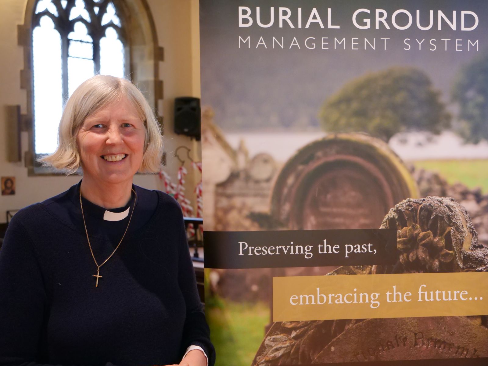
The Revd Amanda Grant, vicar of Kirkburton and Shelley and pictured above, explained how the project came to Halifax and Huddersfield: “About 2 years ago Joe from the Church Buildings Council approached us and expressed an interest in piloting the newly developed online burial system in the Diocese of Leeds.”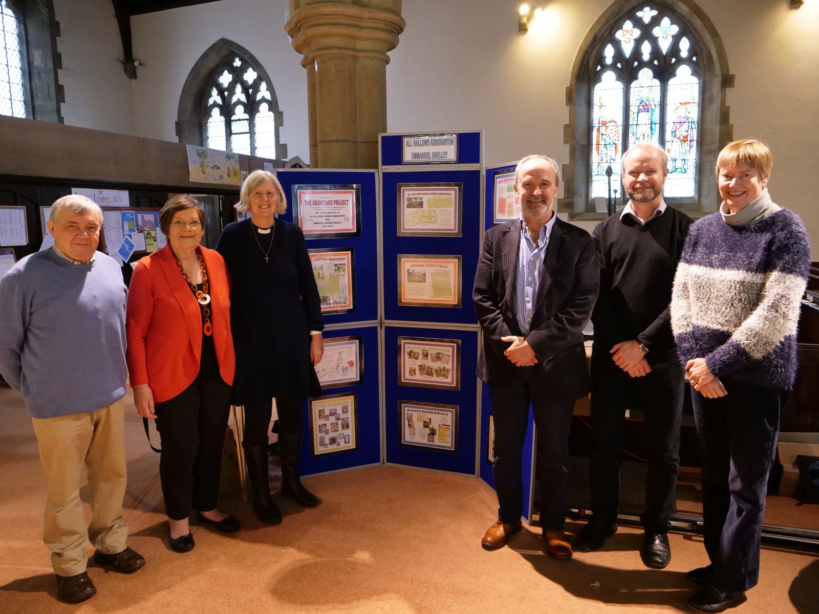
“It is a fantastic resource where information from church registers and photos of headstones are inputted, mapping a graveyard digitally and allowing people to explore their family’s ancestry and history.
“One lady told us how the website had led her to discover three family members who were buried in Emmanuel Shelley’s churchyard.
“It was a real eye opener into the great potential of the system to enable the church to engage with people in their local community.”
Amanda went on to explain the additional benefits of the website that include the ability to also map plant and animal life within the churchyard.
“Being able to map the churchyards environment, including its trees, wildlife, flowers and bugs has opened our eyes to the potential for conservation in the area.
“It has helped us identify areas that we can improve on, to help our wild life and maintain a churchyard that is not just a burial ground, but for our community and the wildlife that live there.
“It has also presented the opportunity to work with local schools and whilst the website has been developed we have been able to visit and talk with the children about their local history and the environment.”
Please find an information leaflet about the burial ground mapping project here.
If you have any questions about the project please feel free to contact Tim Viney from Atlantic Geomatics at tviney@atlanticgeomatics.co.uk.